
Åbjøra
Åbjøra

| Åbjøra Åelva |
|
|---|---|
| Location | |
| Country | Norway |
| County | Nordland |
| Municipalities | Bindal Municipality |
| Physical characteristics | |
| Source | Kalvkruvatnet |
| ⁃ location | Bindal,Norway |
| ⁃ coordinates | 65°04′43″N 12°53′46″E[2] |
| ⁃ elevation | 268 metres (879 ft) |
| Mouth | Osan fjord |
|
⁃ location
|
Bindal,Norway |
|
⁃ coordinates
|
65°01′29″N 12°46′05″E[3] |
|
⁃ elevation
|
0 metres (0 ft) |
| Length | 59 km (37 mi) |
| Basin size | 520 km2(200 sq mi) |
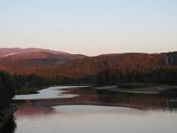
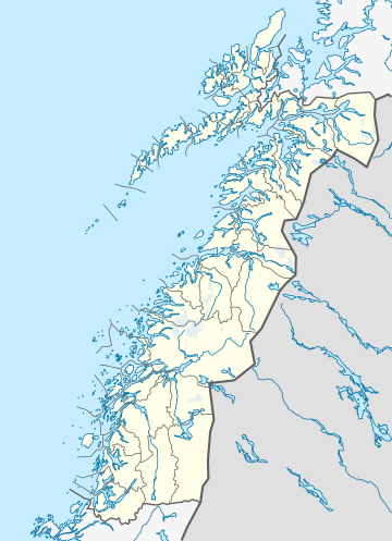
Åbjøra, also known as Åelva, is a river located in the municipality of Bindal in Nordland county, Norway. Originating in the mountains between the Tosen fjord and the Namdalen valley, this 59-kilometre (37 mi) long river flows through various lakes, including the lake Åbjørvatnet. It then passes by the village of Åbygda before reaching its endpoint in the Osan fjord, near the village of Terråk. Despite its relatively small size, Åbjøra is renowned for offering excellent fishing opportunities, particularly for salmon and sea trout.[1]
| Åbjøra Åelva |
|
|---|---|
| Location | |
| Country | Norway |
| County | Nordland |
| Municipalities | Bindal Municipality |
| Physical characteristics | |
| Source | Kalvkruvatnet |
| ⁃ location | Bindal,Norway |
| ⁃ coordinates | 65°04′43″N 12°53′46″E[2] |
| ⁃ elevation | 268 metres (879 ft) |
| Mouth | Osan fjord |
|
⁃ location
|
Bindal,Norway |
|
⁃ coordinates
|
65°01′29″N 12°46′05″E[3] |
|
⁃ elevation
|
0 metres (0 ft) |
| Length | 59 km (37 mi) |
| Basin size | 520 km2(200 sq mi) |
References
[1]
Citation Linksnl.noStore norske leksikon. “Åbjøra – Bindal” (in Norwegian). Retrieved 2011-10-31.
Oct 2, 2019, 12:48 AM
[5]
Citation Linken.wikipedia.orgThe original version of this page is from Wikipedia, you can edit the page right here on Everipedia.Text is available under the Creative Commons Attribution-ShareAlike License.Additional terms may apply.See everipedia.org/everipedia-termsfor further details.Images/media credited individually (click the icon for details).
Oct 2, 2019, 12:48 AM


