Onionlinks

Onionlinks

Did You Know?

Docy turns out that context is a key part of learning.

Über

Über 4.99K VIEWS In German In English Origins Differences from the German Spelling See also Über “Über” (German pronunciation: [ˈyːbɐ], sometimes written as “uber” [ˈuːbə] in English-language publications) is a German word that means “over,” “above,” or “across.” It shares

Üüvere

Üüvere 1.32K VIEWS Üüvere Üüvere Village Country Estonia County Saare County Parish Saaremaa Parish Time zone UTC+2 (EET)  • Summer (DST) UTC+3 (EEST) Üüvere is a village located in Saaremaa Parish, Saare County in western Estonia. Prior to the administrative reform

Üür River

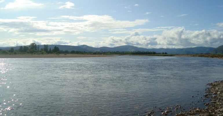
Üür River 2K VIEWS See also Üür River Üür River Üür River Native name Үүрийн гол Location Country Mongolia Aimags Khövsgöl Physical characteristics Source  ⁃ location Tsagaan-Üür sum  ⁃ coordinates 51°9′5″N 101°35′35″E[3] Mouth Eg River  ⁃ location Erdenebulgan sum  ⁃ coordinates 50°18′0″N 101°56′0″E[4] Basin

Úr

Úr 688 VIEWS Úr Ogham letters Aicme Beithe Aicme Muine ᚁ [b] Beith ᚋ [m] Muin ᚂ [l] Luis ᚌ [ɡ] Gort ᚃ [f] Fearn ᚍ [ŋ] nGéadal ᚄ [s] Sail ᚎ [z] Straif ᚅ [n] Nion ᚏ [r] Ruis

Úna

Úna 2.14K VIEWS People with the name See also Úna ÚnaÚna is a feminine given name in the Irish language. It is possibly derived from the Irish word “uan,” meaning lamb. Alternative spellings of the name include Oona and Oonagh.

Újtelek

Újtelek 1.14K VIEWS Geography Újtelek Újtelek Country Hungary County Bács-Kiskun Area  • Total 9.56 km2(3.69 sq mi) Population (2015)  • Total 350[1]  • Density 36.6/km2(95/sq mi) Time zone UTC+1 (CET)  • Summer (DST) UTC+2 (CEST) Postal code 6337 Area code(s) 78 Újtelek is a village situated in Bács-Kiskun

Újezd nade Mží

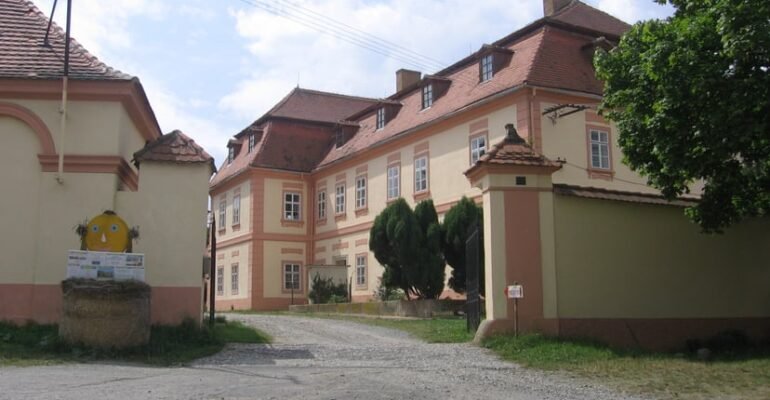
Újezd nade Mží 850 VIEWS Újezd nade Mží Újezd nade Mží Újezd nade Mží Municipality Újezd nade Mží Coordinates:49°47′6″N 13°12′10″E[2] Country Czech Republic Region Plzeň District Plzeň-North Area  • Total 8.45 km2(3.26 sq mi) Elevation 392 m (1,286 ft) Population (2006)  • Total 70  • Density 8.3/km2(21/sq mi) Postal code

Újdombrád

Újdombrád 1.07K VIEWS Geography Újdombrád Újdombrád Újdombrád Újdombrád Location of Újdombrád in Hungary Coordinates:48°14′N 21°56′E[3] Country Hungary Region Northern Great Plain County Szabolcs-Szatmár-Bereg Area [1]  • Total 10.78 km2 (4.16 sq mi) Population (2012)[2]  • Total 660  • Density 61/km2(160/sq mi) Time zone UTC+1 (CET)  • Summer (DST)

Úboč

Úboč 1.1K VIEWS Úboč Úboč Municipality Úboč Coordinates:49°26′17″N 13°4′39″E[2] Country Czech Republic Region Plzeň District Domažlice Area  • Total 7.44 km2(2.87 sq mi) Elevation 498 m (1,634 ft) Population (2006)  • Total 112  • Density 15/km2(39/sq mi) Postal code 345 12 Úboč is a town and municipality (obec) situated in the

Øresund Bridge

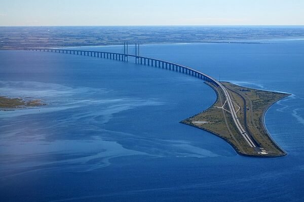
Øresund Bridge 488 VIEWS History Link features Bridge Peberholm Drogden Tunnel Rail transport Border checks Costs and benefits Cultural references Environmental effects See also Øresund Bridge Øresund Bridge Øresund BridgeÖresund Bridge Coordinates 55°34′31″N 12°49′37″E[39] Carries Four lanes of European route